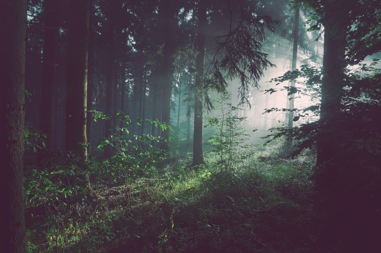
Nathiagali Itinerary: How to Spend 2 or 3 Days in the Galiyat (Day-by-Day Plan)
October 2026The best Nathia Gali itinerary is two or three days: arrive and walk the village on day one, climb Mukshpuri in the morning and walk the Pipeline Track in the afternoon on day two, and add Miranjani at sunrise on day three. Nathiagali is small enough to see in a weekend and rich enough to fill three days without repeating yourself. The trick is sequencing: arrive without exhausting yourself, put the climb in the clear morning hours, and save the summit sunrise for last. This itinerary is built around the drive from Islamabad, about 2.5 hours, but works from Abbottabad, Lahore or Peshawar with the arrival time adjusted.
The short answer
Two days: arrive by lunch, spend the afternoon walking into the village and up to Lalazar, then climb Mukshpuri in the morning and walk the Pipeline Track after lunch on day two. Three days: add a sunrise start on Miranjani, the highest peak in the Galiyat, or a gentler day in Ayubia and Abbottabad. Stay in the village rather than day-tripping; Nathiagali is at its best early in the morning and after the day visitors have gone.
Before you go: timing and getting there
April to October is the reliable window, with June to August the busiest. Spring and autumn give you clear trails and quiet paths; winter turns the same plan into a snow trip that needs flexible dates and a careful drive. From Islamabad, take the Murree Expressway to Murree and continue along the Galiyat road on the ridge, about 80 to 90 km in all; from Abbottabad the Galiyat road climbs 34 km through pine forest and takes 30 to 45 minutes. Leave early. Arriving for lunch gives you a full afternoon, and it keeps you off the hill road after dark.
If you are still choosing your season, our month-by-month guide covers weather, snow and crowds in detail.
Read the best time to visit Nathiagali →Day 1: Arrive, settle, and walk into the village
Check in, eat, and resist the urge to drive anywhere else. Nathiagali is a walking village. Stroll the bazaar along the main road — general stores, tea stalls and a handful of restaurants — then follow the road towards Lalazar, the wildlife park above the village, for the first real view over the forested ridges. It is an easy hour and a good way to let your body adjust to 2,410 metres.
In the late afternoon, walk to St. Matthew's Church, the cedar-wood church built in 1914 and quietly maintained ever since, one of the most photographed corners of the Galiyat. Sunset from the ridge road is worth timing. Dinner is either at one of the hotel restaurants open to non-guests or, if you are staying in an apartment, cooked in or sent up by room service, which after a long drive is the better option for most people.
Day 2: Mukshpuri in the morning, the Pipeline Track after lunch
Start early with Mukshpuri, because cloud tends to build from late morning and the view is the reason to climb. Drive or take a local taxi the 3 km to Dunga Gali, where the main trail climbs roughly 3 to 4 km through pine forest to open meadows and a summit at about 2,800 metres. Allow two to three hours up and around an hour and a half down. On a clear day the view reaches across Ayubia National Park towards the hills of Kashmir. Carry water, a rain shell and a warm layer even in July. An 8 am start has you back at Dunga Gali for a late lunch.
Our Mukshpuri guide covers both routes, snow conditions, horses and what to carry.
Read the Mukshpuri trek guide →After lunch, walk the Pipeline Track from the same Dunga Gali trailhead: about 4 km of flat, shaded forest path to Ayubia, an hour to ninety minutes one way, easy on legs that have just come down a mountain. At Ayubia you are inside the national park, which covers around 3,300 hectares of protected forest; have tea and take a taxi back. The Ayubia chairlift was closed in 2021 and we could not confirm a reopening at the time of writing, so check locally before promising anyone a ride. Back in the village, a slow dinner and an early night; you have earned both.
For the gate, which end to start from, pushchairs and wildlife, see our Pipeline Track guide.
Read the Ayubia and Pipeline Track guide →Day 3: Miranjani at sunrise, or a gentler day
For fit hikers, day three is Miranjani. At roughly 2,992 metres it is the highest peak in the Galiyat, and the trail starts near Governor House in Nathiagali itself. It is roughly 4.5 to 5 km each way, gaining about 600 metres, through dense pine and oak, and takes four to six hours in total; it is steeper than Mukshpuri and far quieter. Leave before dawn with a headtorch, a group and ideally a local guide, and you can be on the summit as the light comes over the ridges, with the whole return walk in the cool of the morning.
Our Miranjani guide covers the trailhead, the sunrise start and safety in detail.
Read the Miranjani trek guide →If a second summit is one too many, spend the morning in Ayubia National Park on the gentler trails, then drive down to Abbottabad for lunch and the drive home on the Hazara Motorway side, or simply have a long breakfast, a final bazaar walk and an unhurried departure. Both are good ways to end the trip.
Where to eat
Several hotels have restaurants open to non-guests, and the bazaar has tea stalls and simple eateries. Order the local specialities at least once: chapli kebab, the spiced whole-roast Patakha chicken that has become a regional signature, and honest daal, saag and fresh roti. Stock up on snacks and water in the bazaar before each walk; there is little on the trails themselves.
Where to stay for this itinerary
This plan works best from a base on the main Nathia Gali road, close to the bazaar and a short drive from the Dunga Gali trailheads. MYG Nathiagali's serviced apartments are exactly there, two minutes' walk from the bazaar: a three-bedroom apartment with a dining table for six and a full lounge for families and friends travelling together, and a one-bedroom attic apartment with forest-view windows for couples. Both have fitted kitchens, free Wi-Fi, room service from the restaurant floor and an on-site cook, which turns the end of a long hiking day into a proper meal without going out.
See the serviced apartments →If you only have one day
Leave Islamabad by 6 am, walk the Pipeline Track from Dunga Gali to Ayubia, eat lunch in Nathiagali, walk the bazaar and the church, and start back by 4 pm so the hill road is done in daylight. It is a long day, roughly five hours of it in the car, which is why almost everyone who does it once books a night the next time.
If you would rather pick and choose than follow a plan, our ranked list covers fourteen things to do with distances and times.
See the 14 best things to do in Nathiagali →Adjusting for the season
In the monsoon months of July to September, keep the climbs for the earliest start you can manage, since the clearest air is usually first thing, and keep the rain shell in your daypack at all times. In winter, from December to February, replace the summits with snow walks along the Pipeline Track and around the village, confirm road conditions before you set off, and give yourself a spare day in case the road closes behind a heavy fall. Spring and autumn need no adjustment at all; they are what this itinerary was written for.
Whichever version you follow, the pattern is the same: one flat walk, one climb, one slow evening a day. Nathiagali does not reward rushing. To book a base for it, call +92 333 9111 550 or WhatsApp +92 334 4131332 with your dates and party size.
More Stories
 Travel Guide
Nathiagali with Family: A Practical Guide for Kids, Grandparents and Big Groups
 Travel Guide
How Far Is Nathiagali from Lahore and Peshawar? Routes, Drive Times and Where to Stop
 Travel Guide
Best Time to Visit Nathiagali: A Month-by-Month Guide (Weather, Snow & Seasons)
Want to Live in Nathiagali?
MYG Nathiagali — luxury apartments near Abbottabad, delivering 2026