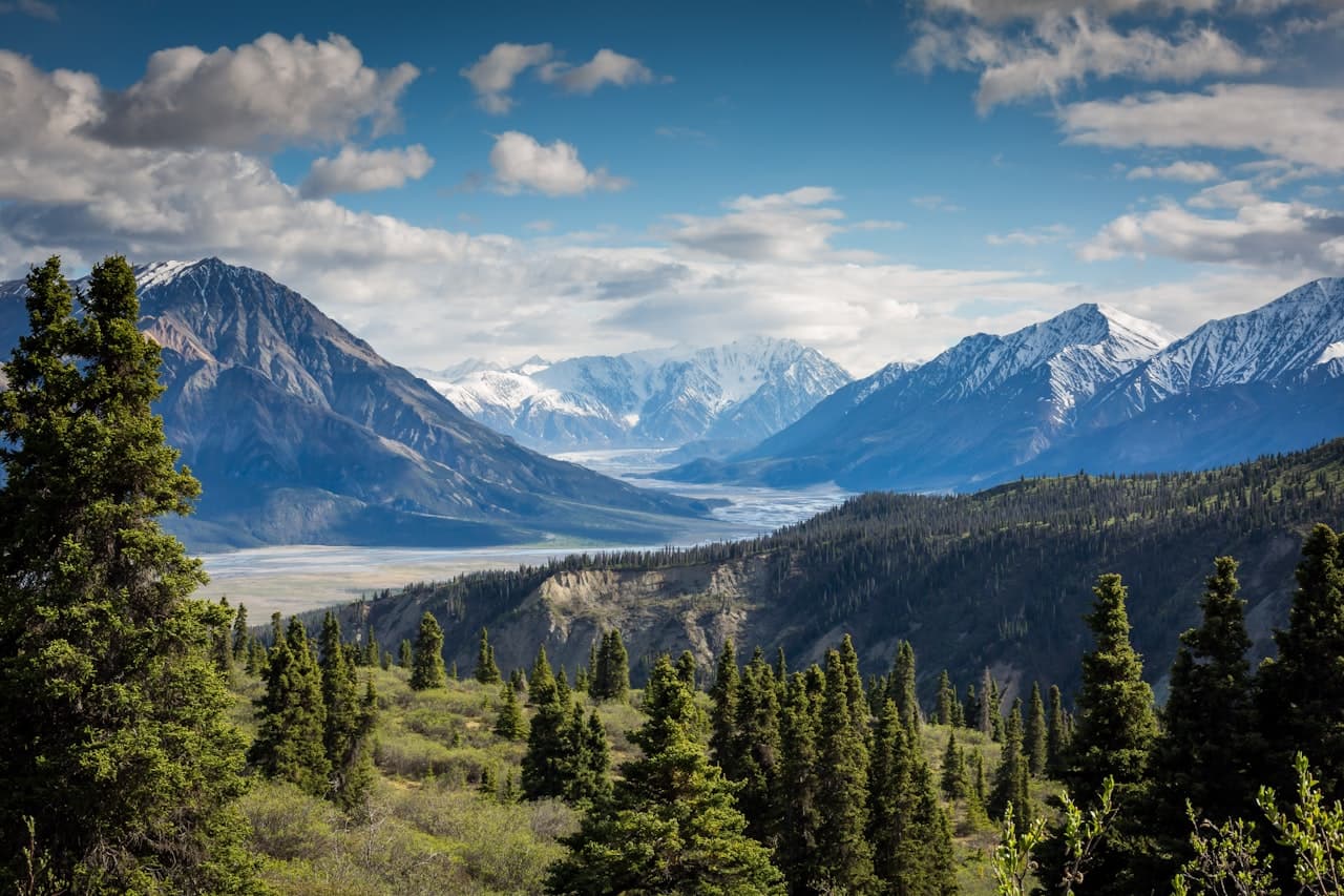
Hiking in Nathiagali: Pipeline Track vs Mukshpuri vs Miranjani (Which Trail Is Right for You?)
October 2026The best hikes in Nathia Gali are the flat Pipeline Track (about 4 km one way), the climb to Mukshpuri (about 2,800 metres, two to three hours up) and the longer ascent of Miranjani (about 2,992 metres, four to six hours return). They start within a few kilometres of each other and suit very different legs. This guide compares them side by side and tells you which to pick; each trail also has its own detailed guide, linked below.
The short answer
Families, first-timers and anyone who wants forest without effort should walk the Pipeline Track. Most reasonably fit visitors should climb Mukshpuri; it is the best reward for the effort in the Galiyat. Strong hikers with a full day should do Miranjani, the highest point in the region. With two days, do the Pipeline Track and Mukshpuri; with three, add Miranjani at sunrise.
The Pipeline Track: Dunga Gali to Ayubia
Distance about 4 km one way. Time an hour to ninety minutes at a relaxed pace. Difficulty easy; the trail is flat and shaded almost the whole way. The track runs alongside a historic water pipeline through dense pine forest between Dunga Gali, 3 km from Nathiagali, and Ayubia, and it is the single most family-friendly walk in the Galiyat. Expect birdsong, occasional monkeys and long views where the trees open. At Ayubia, the tea stalls make a natural turnaround before walking back or taking a taxi.
It is also the one trail that works in every season. In winter, with care and proper footwear, it becomes a snow walk; in the monsoon, the shade keeps it pleasant between showers. Start early on summer weekends, when it is busiest.
Full detail on the gate, pushchairs, wildlife and the Ayubia chairlift is in our Pipeline Track guide.
Read the Ayubia and Pipeline Track guide →Mukshpuri Top: the classic climb
Distance roughly 3 to 4 km each way. Time two to three hours up, about an hour and a half down. Difficulty moderate; a steady climb on a clear path, with no scrambling. Mukshpuri rises to about 2,800 metres, and the route leaves the forest for open meadows near the top, where the view stretches across Ayubia National Park and, on clear days, towards the hills of Kashmir. There are two routes, from Dunga Gali and from Nathiagali via Lalazar, so you can go up one way and down the other.
This is the hike most visitors should do. It is achievable for anyone who walks regularly, the summit is a genuine reward, and it fits into half a day. Carry water and a warm layer; the top is windier and noticeably colder than the village.
Route-by-route detail, snow hiking, horses and guides are in our Mukshpuri trek guide.
Read the Mukshpuri trek guide →Miranjani: the highest peak in the Galiyat
Distance roughly 4.5 to 5 km each way, or 9 to 10 km there and back, with about 600 metres of climbing. Time four to six hours in total. Difficulty moderate to hard; steeper and more sustained than Mukshpuri, unmarked, with a rocky final section. Miranjani reaches about 2,992 metres and the trail starts near Governor House in Nathiagali, climbing through dense pine and oak forest to a ridge-top summit. It is far quieter than Mukshpuri, and on the clearest days the view extends to the distant Kashmir ranges.
Miranjani rewards an early start. Leaving before dawn puts you on the summit in the best light and brings you down before the afternoon cloud builds. Go in a group, carry more water than you think you need, and do not attempt it in poor visibility or after heavy rain.
Our Miranjani guide covers the trailhead, the sunrise hike, navigation and wildlife.
Read the Miranjani trek guide →Nathia Gali hiking trails at a glance
Pipeline Track: about 4 km one way, almost flat, an hour to ninety minutes, easy, all seasons, starts at Dunga Gali. Mukshpuri: roughly 3 to 4 km each way, about 400 metres of climbing, two to three hours up, moderate, best April to June and September to October, starts at Dunga Gali or Nathiagali. Miranjani: roughly 4.5 to 5 km each way, about 600 metres of climbing, four to six hours return, moderate to hard, same best months, starts near Governor House in Nathiagali.
Are there other walks near Nathia Gali?
Yes, though none matches the big three. The walk up to Lalazar above the bazaar takes under an hour and makes a good first-afternoon outing while you adjust to the altitude. Around Khanspur, beyond Ayubia, quiet forest paths see very few people. And for experienced trekkers there is the long forest route between Nathiagali and Thandiani via Dagri Naka, usually done with a guide and an overnight stop; it is not a casual day walk.
Best season for each trail
April to October is the window for the peaks, with September and October the finest months of all: clear air, dry paths and long views. June to August is warm and green but busy at the trailheads on weekends, and the monsoon from July to September makes the steeper trails slippery, so check the forecast the night before and start early. From December to February the summits are for experienced, properly equipped hikers only; the Pipeline Track is the sensible winter walk.
What to carry
Proper walking shoes with grip, a litre of water per person on the climbs, a rain shell in every month, and a warm layer for the summits even in July. Add sun protection, snacks from the bazaar, a charged phone and a headtorch for any pre-dawn start. Leave the plastic behind and carry your rubbish down.
Safety and wildlife
Ayubia National Park is home to leopards as well as monkeys and a wide range of birds. Encounters are rare, but walk in groups, stay on the main trails, avoid the forest at dusk and after dark, and keep children close. Mountain weather shifts quickly; if cloud closes in on a summit, turn back rather than push on. Mobile signal is patchy in the forest, so tell someone where you are going. Local guides are available in the village and are worth hiring for Miranjani if it is your first time.
Which trail should you choose?
With children, grandparents or anyone unsure of their fitness: the Pipeline Track. Reasonably fit and short on time: Mukshpuri, and go up from Dunga Gali. Fit, experienced and blessed with a full clear day: Miranjani at sunrise. If you can only do one, do Mukshpuri; if you have a weekend, do the Pipeline Track on the morning you arrive and Mukshpuri the next day.
Where to stay for hiking
All three trailheads are within a few minutes of the main Nathia Gali road, which is where MYG Nathiagali's serviced apartments sit, two minutes' walk from the bazaar. Coming back to a full apartment rather than a hotel room matters more after a hike than at any other time: a fitted kitchen and a stocked crockery cupboard for an early breakfast before a dawn start, a hot shower, a lounge to stretch out in, and room service from the restaurant floor when nobody wants to walk another step.
See the serviced apartments →To book a base for a hiking weekend, call +92 333 9111 550 or WhatsApp +92 334 4131332 with your dates and party size. Then pack the boots.
More Stories
 Travel Guide
Nathiagali with Family: A Practical Guide for Kids, Grandparents and Big Groups
 Travel Guide
How Far Is Nathiagali from Lahore and Peshawar? Routes, Drive Times and Where to Stop
 Destination
Where to Stay in Nathiagali: Hotels, Guesthouses and Serviced Apartments Compared
Want to Live in Nathiagali?
MYG Nathiagali — luxury apartments near Abbottabad, delivering 2026