Abbottabad to Nathia Gali Distance: Route, Drive Time, Stops and Nearby Distances
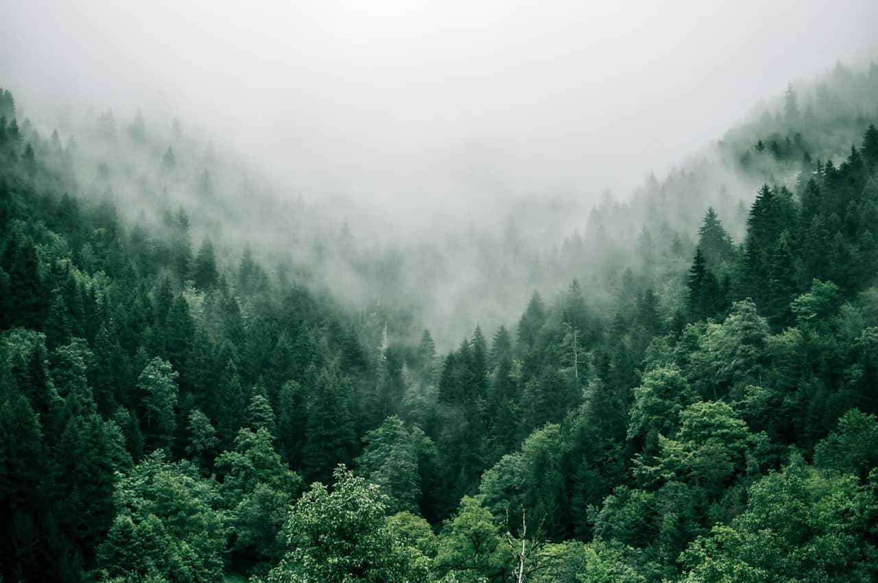
October 2026The distance from Abbottabad to Nathia Gali is about 35 km by road, a little less from the eastern side of the city and a little more from the cantonment. In a car on a normal day the drive takes 40 minutes to an hour, almost all of it a steady climb through pine forest from about 1,250 metres to roughly 2,410 metres. It is the shortest and, in winter, the most reliable way up to Nathiagali.
This guide covers the route and where to stop, how to do it without a car, what changes in snow, and the short distances people ask about once they are in the Galiyat: Dunga Gali, Ayubia, Murree and Muzaffarabad in Azad Kashmir.
How far is Nathia Gali from Abbottabad?
Measured from central Abbottabad, the road distance is roughly 34 to 36 km, and most signboards and guides round it to 34 or 35 km. If you are coming off the Hazara Motorway, add the few kilometres from the Abbottabad interchange into the city. The straight-line distance is shorter, under 20 km, but nobody drives a straight line in these hills.
Drive time depends more on traffic than distance. On a quiet weekday morning you can reach the Nathiagali bazaar in about 40 minutes. On a summer weekend or an Eid holiday, allow an hour or more, because the road slows behind buses and through the village bazaars. There is no meaningful shortcut: this is the road everyone uses.
What is the route from Abbottabad to Nathia Gali?
Leave Abbottabad heading east past Nawanshehr, the old quarter on the city's eastern edge. The road then runs out through Dhamtour and down towards Harnoi, where it crosses the stream in the valley floor, before beginning the real climb. From there it winds up through Bagnotar and Namli Maira, past the Kalabagh area a few kilometres short of Nathiagali, and arrives on the main Nathia Gali road beside the bazaar.
The first third is suburban and busy; the middle third is the steepest, with the tightest bends above Harnoi; the last third, from Bagnotar up, is forest road with long views across the Galiyat ridges. The surface is paved throughout and is in generally good repair outside the monsoon. It is narrower than the motorway approach suggests, so expect to give way to vans and trucks on the bends.
Coming all the way from Islamabad? The Abbottabad side is the longer route on the map but avoids Murree's queues. We compare the two in detail in our Islamabad guide.
Read how far Nathia Gali is from Islamabad →Where to stop along the way
Abbottabad itself is the stop that matters most. Fill the tank, use an ATM and buy anything you need before you leave, because fuel stations and banks thin out sharply once you start climbing and the Nathiagali bazaar is small.
Harnoi, about 11 to 12 km from the city, is the popular picnic halt: a stream, roadside restaurants and tea stalls in the valley bottom. It is busy on summer weekends and a pleasant twenty-minute break at other times. Bagnotar and the stretch above it have several pull-offs with views back over the Abbottabad valley; stop only where there is a proper shoulder, not on a bend. If anyone in the car gets travel sick, the bends above Harnoi are where it starts, so a break there helps.
Can you get from Abbottabad to Nathia Gali by public transport?
Yes. Shared Hiace vans and local wagons run up the Galiyat road from Abbottabad through the day, some stopping at Nathiagali and some continuing along the ridge towards Murree. They leave from Abbottabad's general bus and wagon stands; departure points and timings are informal and change, so ask locally on the day. They are cheap and frequent in the morning, slower to fill in the afternoon, and thin out in the evening and in snow.
A taxi or a hired car with a local driver is the comfortable option, especially with luggage or children, and it is what we recommend in winter. Ride-hailing apps may be available in Abbottabad, but drivers will not always accept a mountain trip, so it is often easier to agree a fare with a local driver directly.
Driving from Abbottabad to Nathia Gali in winter
From December to February this is the approach to use. Snow falls on the upper half of the road, roughly from Bagnotar upwards, and after an ordinary fall the road is usually cleared within hours. In recent winters the Abbottabad section has generally been reopened before the Murree side, and on some occasions it has stayed open when the Murree road was closed to tourist traffic.
The usual rules apply. Carry snow chains or be ready to have them fitted where the snow begins, keep at least half a tank, and do the climb in daylight because meltwater refreezes into ice after dark. During the heaviest spells the authorities can stop tourist vehicles altogether, so check the Galiyat Development Authority and district administration advisories, and phone wherever you are staying on the morning you travel.
Our road conditions guide covers closures, small cars in snow and where to check the road before you leave.
Read the Nathiagali road conditions guide →How far is Dunga Gali from Nathia Gali?
About 3 km, five to ten minutes by car along the main road towards Murree. Dunga Gali is where the Pipeline Track begins and where the main trail up Mukshpuri starts, so most visitors staying in Nathiagali go there at least once. You can also walk it along the road in around 40 minutes.
How far is Ayubia from Nathia Gali?
It depends on whether you walk or drive. On foot, Ayubia is the far end of the Pipeline Track: about 3 km by road to Dunga Gali, then roughly 4 to 4.5 km of flat forest path, which takes about ninety minutes at a relaxed pace. By car, the Ayubia village area is roughly 10 to 15 km away, because the road leaves the ridge and loops round to it; allow 25 to 30 minutes. Note that the old Ayubia chairlift was shut by the Galiyat Development Authority in 2021 on safety grounds, so do not plan a day around it.
If you are going to Ayubia anyway, walk there. Our Pipeline Track guide covers the route, timings and which end to start from.
Read the Ayubia and Pipeline Track guide →How far is Murree from Nathia Gali?
About 32 to 35 km along the Galiyat ridge road, passing Dunga Gali, Ayubia, Khaira Gali and Changla Gali on the way. The distance is similar to Abbottabad, but the drive is slower: 60 to 90 minutes on a normal day, and considerably longer on summer weekends when traffic backs up through Murree. Changla Gali, roughly halfway, is about 17 to 18 km from Nathiagali.
How far is Nathia Gali from Kashmir (Muzaffarabad)?
Muzaffarabad, the capital of Azad Kashmir, is roughly 120 km from Nathiagali on the main roads, either down to Murree and on to the Jhelum at Kohala, or back through Abbottabad and across via Garhi Habibullah. Both take around three to four hours depending on traffic and road works. There is also a much shorter back road that drops off the ridge towards Kohala, putting Muzaffarabad around 60 km away, but it is steep, narrow and in patchy condition, and we would not suggest it to visitors who do not know it. Carry your CNIC for the checkpoints, and foreign nationals should check current entry requirements for Azad Kashmir before setting out.
On a clear day you do not have to drive anywhere to see Kashmir: the ridge near St. Matthew's Church in Nathiagali looks east across the Jhelum valley towards the Kashmir hills.
Quick reference: distances from Nathia Gali
Dunga Gali: about 3 km, 5 to 10 minutes. Kalabagh: about 3 km, 5 minutes. Ayubia: roughly 10 to 15 km by road (20 to 30 minutes) or about 7 km on foot via the Pipeline Track. Changla Gali: about 17 km, 25 to 35 minutes. Murree: 32 to 35 km, 60 to 90 minutes. Abbottabad: about 35 km, 40 to 60 minutes. Thandiani: roughly 50 km. Muzaffarabad: about 120 km on the main roads, 3 to 4 hours. Islamabad: 75 to 90 km via Murree, about 2.5 hours. All times assume normal traffic and dry roads.
If you want to see where all of this sits on a map, our location guide places Nathia Gali in the Galiyat and Abbottabad district.
Read where Nathia Gali is →Staying on the Abbottabad side of the trip
MYG Nathiagali is on the main Nathia Gali road, a two-minute walk from the bazaar, so the Abbottabad road brings you straight to the door with no steep side lane at the end. The three-bedroom serviced apartment and the one-bedroom attic apartment are open for nightly and short stays, with a smart TV, free Wi-Fi, a tea setup, an on-site cook and room service from the building's restaurant floor. Book by phone on +92 333 9111 550 or WhatsApp +92 334 4131332, and ask the team how the road looks before you leave Abbottabad.
See the serviced apartments →Thinking of something more permanent this close to Abbottabad? The building's three-bedroom and two-bedroom apartments are for sale.
See apartments for sale in Nathiagali →More Stories
 Travel Guide
Things to Do in Nathiagali: 14 Places to Visit, Walks and Views (With Distances and Times)
 Travel Guide
Places to Visit Near Nathiagali: 10 Galiyat Day Trips with Distances and Drive Times
 Travel Guide
Mukshpuri Trek: Complete Guide to the Mukshpuri Top Hike (Routes, Distance, Time & Season)
Want to Live in Nathiagali?
MYG Nathiagali — luxury apartments near Abbottabad, delivering 2026