Where Is Galiyat? A Location and Map Guide to the Galiyat (Galyat) Hill Stations
October 2026The Galiyat (also written Galyat) is a chain of small hill stations strung along a single forested ridge between Murree and Abbottabad, roughly 50 to 80 km north-east of Islamabad. Most of it lies in Abbottabad District of Khyber Pakhtunkhwa, with its southern end running into Murree in Punjab. Nathia Gali, at about 2,410 metres, sits near the middle of the chain, roughly 34 km from Murree and 34 km from Abbottabad.
We cannot embed an interactive map on this page, so this guide describes the map in words: where the Galiyat sits in Pakistan, the towns in the order you meet them on the road, the distances between them, and the practical details of getting there, the weather and where to shop.
What does Galiyat mean?
Gali means a passage or lane in the local Hindko language, and Galiyat is simply its plural: the galis, the string of passes and saddles that the road threads along the ridge. That is why so many of the town names end in gali: Changla Gali, Khaira Gali, Dunga Gali, Nathia Gali, Bara Gali. The spellings Galiyat, Galyat and Galiat all refer to the same place.
Where is Galiyat on the map of Pakistan?
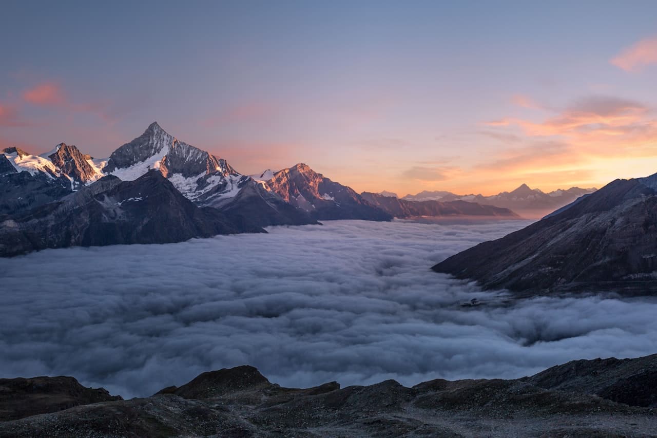
Picture the map of northern Pakistan with Islamabad at the foot of the Margalla Hills. Go north-east and the land rises into a long ridge of the outer Himalayan foothills, running roughly south to north. Murree sits at its southern end, about an hour from Islamabad. Abbottabad lies in the valley below its northern end. The Galiyat is that ridge.
To the east the ridge drops steeply to the Jhelum River, which here forms the boundary with Azad Kashmir; on a clear day you look across the river to the Kashmir hills. To the west it falls towards the Hazara plains and the Abbottabad valley. Ayubia National Park covers much of the forest in the middle of the ridge, between Ayubia and Nathia Gali.
Administratively, the Galiyat proper is in Abbottabad District, Khyber Pakhtunkhwa. The provincial boundary with Punjab crosses the road near Barian and Khaira Gali at the southern end, which is why Murree and its neighbours such as Ghora Gali and Jhika Gali are counted in Punjab, while Changla Gali northwards is in KP.
For a closer look at Nathia Gali itself, its geography and history, see our dedicated guide.
Read where Nathia Gali is →The Galiyat towns in road order, with distances
The road from Murree to Abbottabad is the spine of the Galiyat, and almost every town sits on it or a short side road off it. Here is the order you meet them driving north from Murree, with approximate road distances. Mountain-road figures vary by a kilometre or two depending on where you measure, so treat them as a guide.
Murree to Barian: about 12 km. Barian is the first settlement past Murree, a military area that marks the edge of Punjab.
Barian to Khaira Gali: about 1 to 2 km. Khaira Gali, at roughly 2,350 m, is a former cantonment with views on both sides of the ridge, and the first gali on the KP side.
Khaira Gali to Changla Gali: about 6 km. Changla Gali sits on one of the highest stretches of the road, with a small bazaar. This section holds snow and ice longer than most in winter.
Changla Gali to Dunga Gali: roughly 14 km. On the way the road passes the turn-off for Ayubia and the Ghora Dhaka resort area, where the Pipeline Track ends; Ayubia itself sits off the main road on a loop, so by car it is further from Nathia Gali than it looks on the map. Khanspur, a quiet former hill post at about 2,250 m, lies on a side road about 2 to 3 km beyond Ayubia.
Dunga Gali is the trailhead for both the Pipeline Track and the main Mukshpuri climb, and the headquarters of Ayubia National Park.
Dunga Gali to Nathia Gali: about 3 to 4 km. Nathia Gali is the largest of the galis, with the main bazaar, St. Matthew's Church, the Governor's House and the Miranjani trailhead. From Murree, the whole ridge drive to Nathia Gali is about 34 km.
Nathia Gali to Kalabagh and Bara Gali: about 3 to 4 km. Just north of Nathia Gali the road passes Kalabagh, home to an air force base, and Bara Gali, a former cantonment now best known for the University of Peshawar's summer campus.
Nathia Gali to Abbottabad: about 34 to 36 km. From here the road leaves the ridge and drops north-west through Namli Maira, Bagnotar and the riverside picnic spot of Harnoi into Abbottabad, losing more than 1,100 metres of height on the way. Murree to Abbottabad end to end is therefore roughly 70 to 80 km.
Thandiani: a branch, not on the main road. Thandiani, at about 2,750 m, sits on its own ridge north-east of Abbottabad. From Nathia Gali you drive down towards Abbottabad and turn up the Thandiani road before the city, a total of roughly 50 km by the shortest route; from Abbottabad itself it is about 28 to 37 km depending on the starting point. Allow 1.5 to 2 hours from Nathia Gali. Walkers can also reach it on the long forest trek from Nathia Gali via Dagri Naka, usually done with a guide over two days.
Our day-trip guide covers what each of these places is like and whether it is worth a special visit.
See places to visit near Nathiagali →How far is Abbottabad from Nathia Gali?
About 34 to 36 km by road, which usually takes 45 minutes to an hour; the road is winding and drops more than 1,100 metres. Traffic through Abbottabad itself can add time at weekends. This is the shorter of the two mountain approaches and the one we suggest in winter.
How far is Ayubia from Nathia Gali?
Roughly 10 to 15 km by road, 20 to 30 minutes by car depending on which part of Ayubia you are heading for, because the road leaves the ridge and loops round to Ayubia. On foot it is closer: 3 km to Dunga Gali, then about 4 to 4.5 km along the Pipeline Track. Walking one way and taking a taxi back is the classic half-day outing.
Our Ayubia guide covers the park, the Pipeline Track and the chairlift question in detail.
Read the Ayubia and Pipeline Track guide →Who runs the Galiyat?
Day-to-day development in the Galiyat is the job of the Galiyat Development Authority (GDA), a Khyber Pakhtunkhwa body that took over from the old Hazara Hill Tract Improvement Trust. It was set up under a 1996 law and reconstituted by the Khyber Pakhtunkhwa Galiyat Development Authority Act of 2016. Its area covers the former hill resorts of Nathia Gali, Dunga Gali, Changla Gali, Khaira Gali, Khanspur and Ghora Dhaka.
In practice, the GDA is the body visitors hear from most in winter, when it runs snow clearance and issues weather and road advisories. It also handles building regulation, water supply, sanitation, parking areas, street lighting and tourism promotion. For property buyers, it is the authority whose building rules apply to construction in the area, so it is worth asking any developer about GDA approvals.
How do you get to the Galiyat?
By road; there is no airport or railway in the Galiyat. From Islamabad, the quickest way onto the ridge is the Murree Expressway to Murree, then north along the Galiyat road, about 80 km and 2 to 2.5 hours to Nathia Gali on a quiet day. The alternative is the Hazara Motorway to Abbottabad and up from the north, longer in distance but often faster on busy weekends. From Peshawar and the rest of KP, the Abbottabad side is the natural approach. Buses and vans run from Rawalpindi to Murree and to Abbottabad, with local vans and taxis covering the ridge road.
Is the Galiyat close to Kashmir? Closer than most people expect. The Jhelum and the Azad Kashmir boundary lie only around 10 to 15 km east of Nathia Gali in a straight line, but the drop is steep and most travellers reach Kashmir via Murree and the Kohala bridge rather than directly from the ridge.
Our Islamabad guide compares both routes in detail, including weekend traffic and public transport.
Read how far Nathiagali is from Islamabad →What is the weather like in the Galiyat?
Cool and wet by Pakistani standards. Summer days are typically 15 to 25°C while the plains bake, the monsoon in July and August brings mist and heavy rain, autumn is clear and dry, and winter from December to February brings reliable, heavy snow, with nights well below freezing. Annual rainfall at Nathia Gali is roughly 1,650 to 1,850 mm. The towns near the middle of the ridge, Nathia Gali, Dunga Gali, Ayubia and Changla Gali, are all at 2,300 to 2,600 metres and share much the same weather; Abbottabad, at about 1,256 m, is much warmer.
For what each month is like on the ridge, see our full-year guide.
Read the best time to visit Nathiagali →Where are the shops and bazaars in the Galiyat?
Nathia Gali has the main bazaar on the ridge, along the main road through the village centre: general stores, dry fruit and shawl shops, tea stalls, restaurants and pharmacies. It is the place to buy everyday supplies without leaving the Galiyat. Changla Gali and Dunga Gali have a handful of shops and food stalls, and the Ayubia and Ghora Dhaka area has tea stalls, snack shops and picnic food in season. For anything bigger, such as supermarkets, banks, full hospitals and electronics, you go to Abbottabad, or to Murree's Mall Road for shopping and cafes. Carry some cash: ATMs on the ridge are few and not always working.
Where should you stay in the Galiyat?
For most visitors, Nathia Gali. It is central, so every other gali is under an hour away; it has the best walking straight from the village; and it has more places to eat than the smaller galis while being much quieter than Murree.
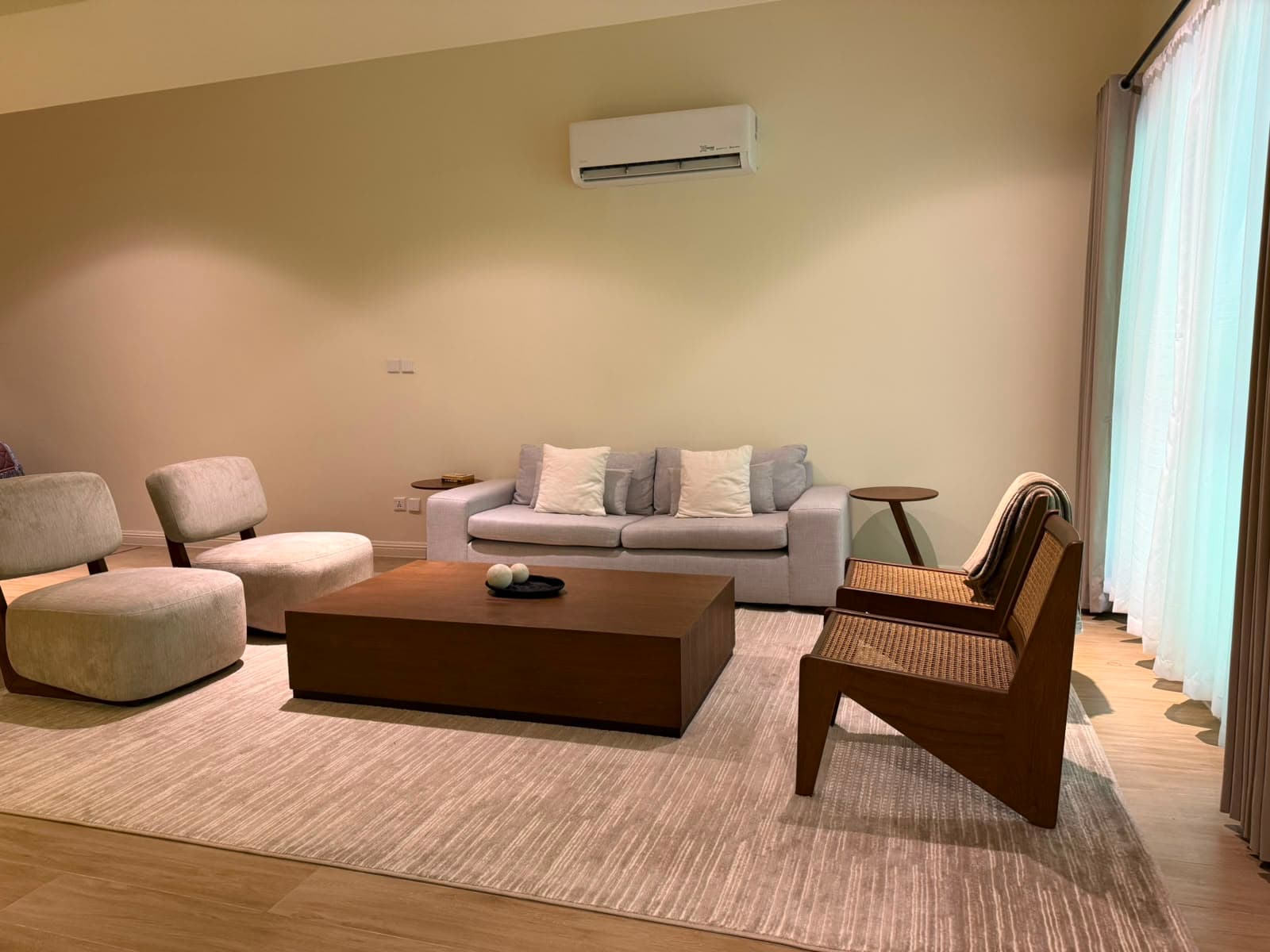
MYG Nathiagali is on the main Nathia Gali road, a short walk from the bazaar. Its three-bedroom serviced apartment (3.5 washrooms) and one-bedroom attic apartment are open for nightly and short stays, with a smart TV, free Wi-Fi, a tea setup, an on-site cook and room service from the building's restaurant floor. Call +92 333 9111 550 or WhatsApp +92 334 4131332 to book.
See the serviced apartments →To see exactly where the building sits on the ridge road, with routes from Islamabad and Abbottabad, the location page has the map.
See the location and routes →And if you are looking to own a base in the Galiyat, the 3 Bedroom, 2 Bedroom and Hotel Room units are available to buy, each with a servant room and dedicated parking.
See the apartments for sale →More Stories
Want to Live in Nathiagali?
MYG Nathiagali — luxury apartments near Abbottabad, delivering 2026